Extratropical Transition (ET) of Tropical Cyclones (TCs)
ET occurs when a TC interacts with a mid-latitude trough and transforms into an extratropical cyclone. During ET, the storm goes through a "hybrid" phase, where it has a TC-esque warm core, as well as fronts like an extratropical cyclone.
Impacts from re-intensifying ET cases include a very large gale- or hurricane-force wind field, pressure falls, and heavy precipitation that often causes inland flooding.
Sandy (2012) and Irene (2011, satellite image and rainfall totals in the above image) were classic cases of ET, with Sandy the most impressive ET (938 mb at landfall!) in recent memory. Flooding from the ET of Irene (2011) resulted in the worst natural disaster in Vermont history!
My primary research interests in this area are:
Understanding the relationship between ET and precipitation, specifically related to inland flooding
Improving operational forecasts of ET
Check out our:
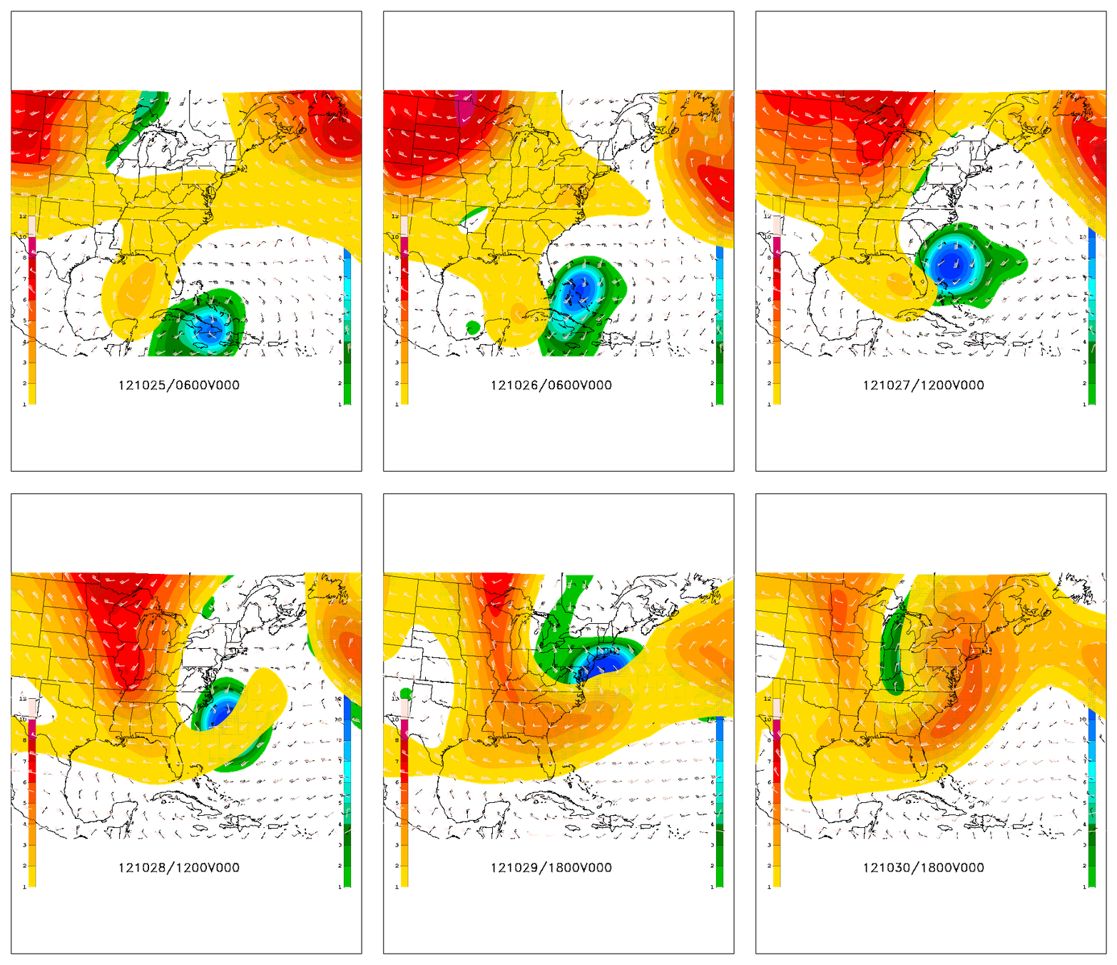
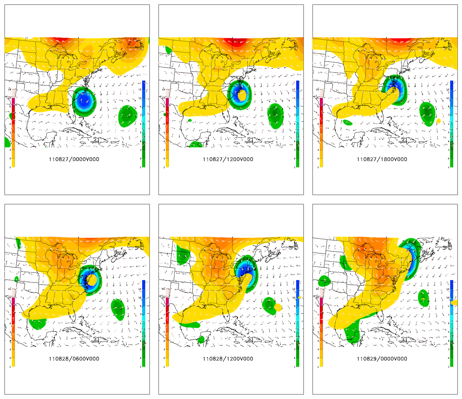
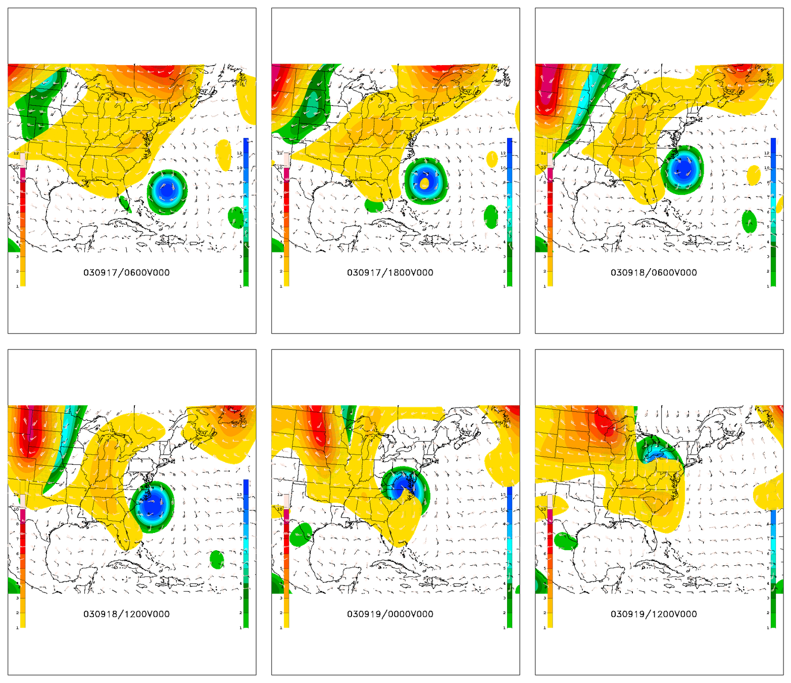
Below are animations from 3 ET events: Sandy 2012 (top), Irene 2011 (middle), and Isabel 2003 (bottom).
The warm colors represent the mid-latitude trough while the cold colors represent the cyclone.
While Sandy and Irene featured intense interaction between the two systems, the trough in Isabel (2003) was too weak and far away from the storm, resulting in a complete heavy rainfall forecast bust in upstate New York and Ontario!


